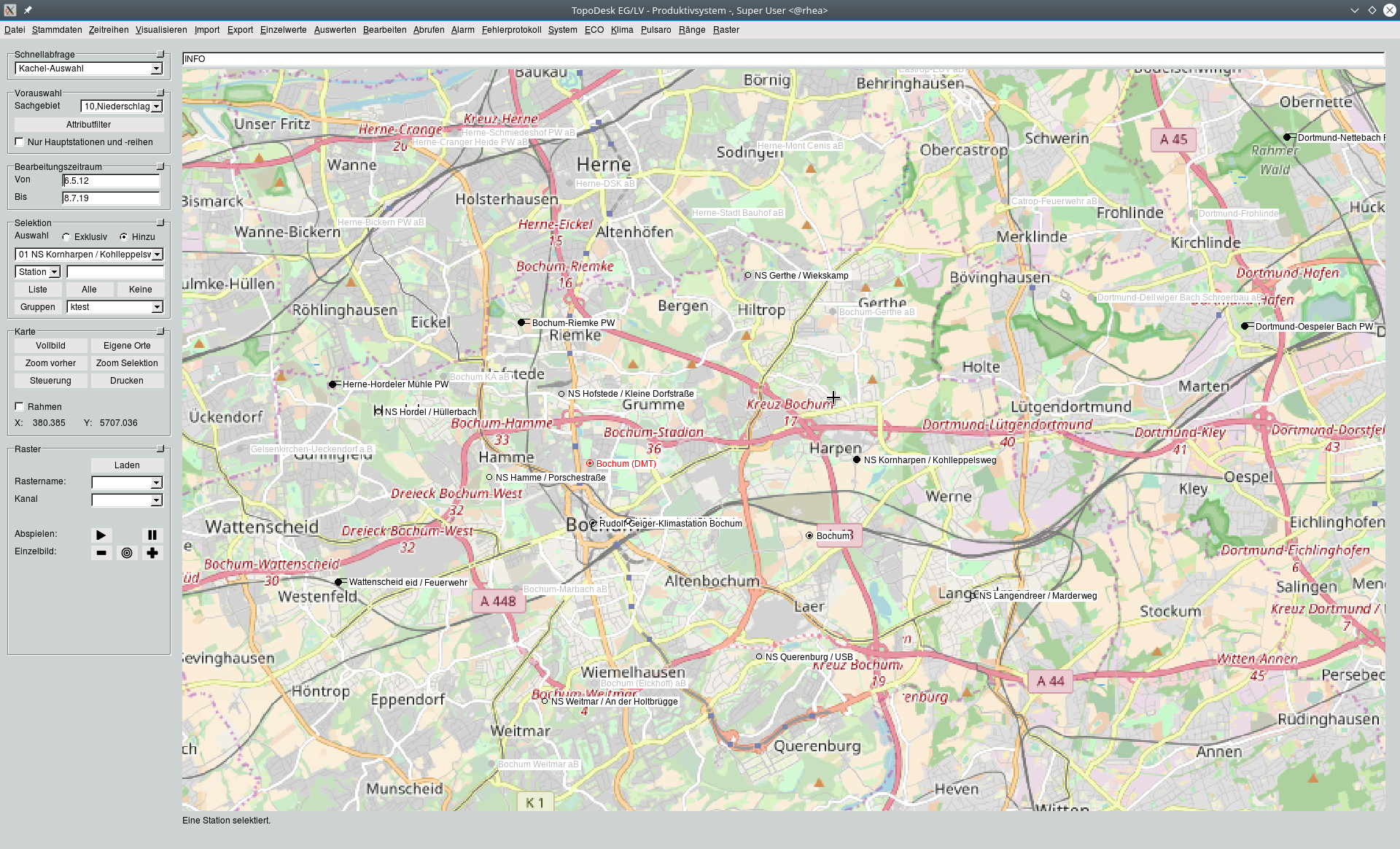
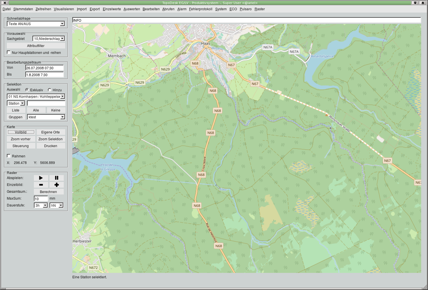
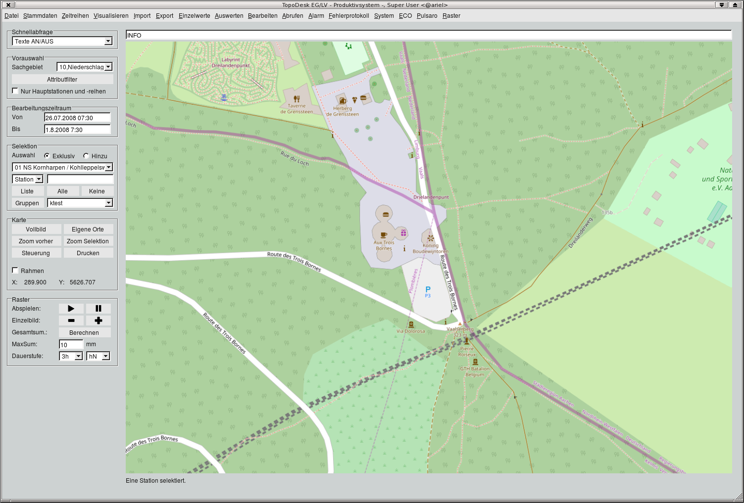
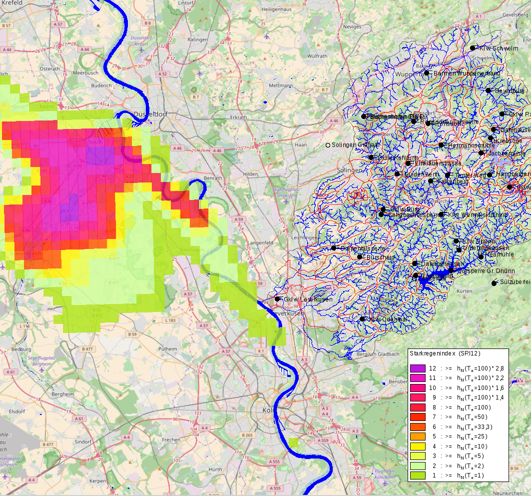
TopoDesk has a map in which measuring stations and shapes are displayed. For better orientation, the map background can be downloaded from the server of the OpenStreetMap project. This happens fully automatically. The position coordinates of the measuring stations and the shapes are automatically adjusted in the projected image of the OpenStreetMap data (Web Mercator) in the respective zoom level. In order to enable zooming seamlessly via the intermediate layers, the images of the respectively best matching zoom level are enlarged or reduced.
 +49 241 92 78 92-0
  post@toposoft.de